Showcase + Scenic route

Landscape plan ViA15

Highways are important showpieces in the Netherlands with many users per day and are public spaces where we spend a lot of time. Therefore, the need for quality roads and quality surroundings is evident.

Motive

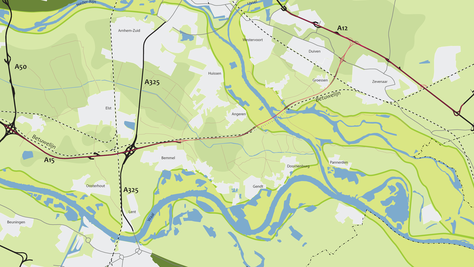
The ViA15 project involves widening the A15 from Valburg junction to Ressen junction, the new motorway section to be constructed between Ressen and the connection at Bemmel, the extension of the A15 as a complete new road from the connection at Bemmel to the connection at the A12 (Oudbroeken), and improving the A12 between the connection at Duiven and Oud-Dijk junction.

Contract document

H+N+S developed a landscape plan for the ViA15 project. The landscape plan – and also the aesthetic programme of requirements, which was drawn up later – forms an Annex to the (Draft) Planning Procedures Order and is a contract document of the tender. The landscape plan consists of a visional part (vision on the integration of the plan) and a plan document (a description/explanation of the proposed measures with a short motivation and a set of maps, scale 1:2500).

The extension of the A15 is more than just a technical infrastructural task

The landscape plan, together with the Aesthetic Programme of Requirements, forms part of the tender dossier. It describes what conditions are required for the integration and design of the A15 and A12 within the ViA15 project, taking into account national and regional policies and spatial and rural features on site. The experience of residents, road users and users of the area must be taken into consideration. This involves the design of individual architectural elements, but also the coherent design and integration of the entire motorway in the area.

Approach

Area Vision A15

As early as 2008 – before the memorandum on Environmental Impact Assessments (Trajectnota/MER) was published – H+N+S drew up the ‘Area vision A15’ for the municipalities of Duiven and Zevenaar, which serves as a spatial agenda and input for negotiations with the Directorate General of Public Works and Water Management. When drawing up the area vision, H+N+S cooperated with Plattelandshuis Achterhoek Liemers which analysed the ideas and wishes of several parties. The vision proposed to deepen and fence off the A15 in order to guarantee the viability of the motorway.

Relationship with the Region

The province and a number of municipalities decided to make their own Spatial Quality Plan (SQP) in 2014. This spatial quality plan was synchronised with the integrative vision and landscape plan in order to ensure optimal alignment. The SQP is not a formal framework for the landscape plan, yet the aim was to align the content of the SQP documents and the landscape plan as closely as possible. To this end, several consultations were held with the drafters.

Result

Structure

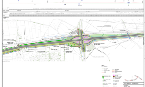
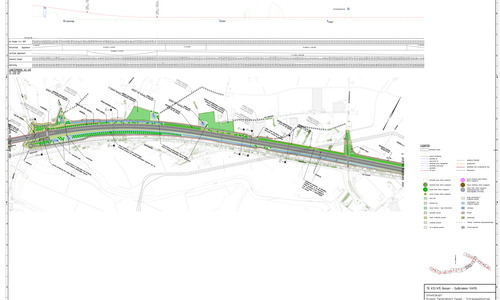
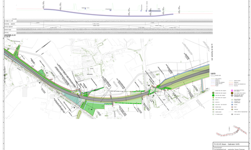
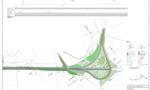
The landscape plan consists of two parts. The first part is the integrative vision which starts with a description of the landscape, including an analysis of the most important area qualities and an overview of the most important policies and developments. The landscape plan is explained in part II on the basis of the integrative vision, with a text and supporting images per map (15 in total).

Main ambition VIA15

The main ambition of the ViA15 project is to turn the extension of the A15 (and to a lesser extent also the A12) into a carefully designed motorway, integrated in accordance with the latest insights. The goal is a motorway, carefully integrated into the landscape with a pleasant experiential value for road users and residents who live in the area. More specifically, this aim is subdivided into the following 4 sub ambitions.

Perspective of residents

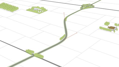
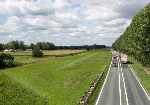
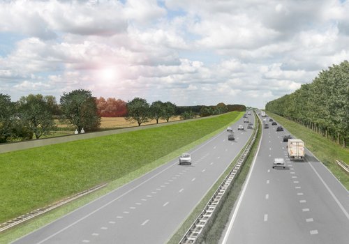
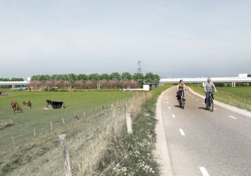
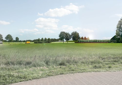
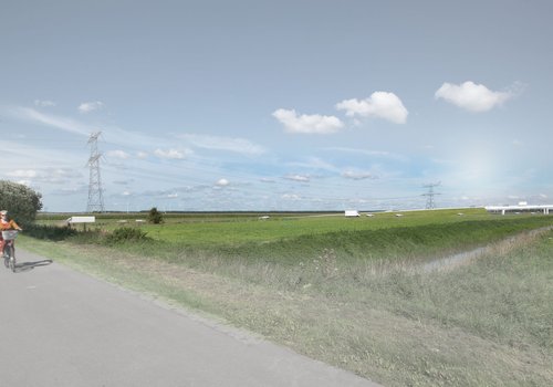
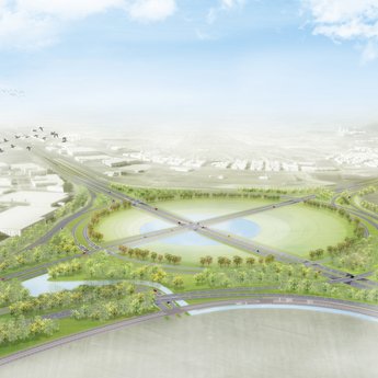
The ViA15 is a motorway, which has been well integrated into the landscape: the motorway is hardly visible from the surrounding area and enhances the landscape image or character. The motorway 'lands' on the landscape.

Perspective of road users

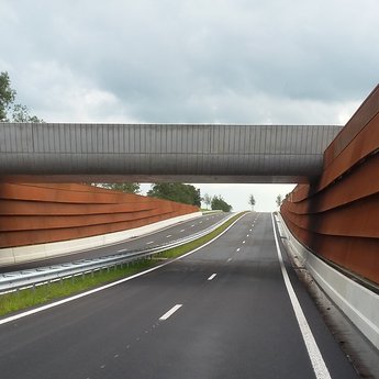
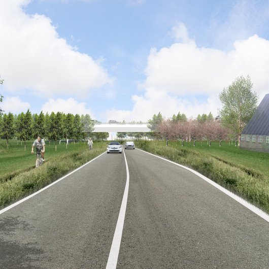
The ViA15 is a clear, fine, quiet and safe motorway. The surrounding area of the road is carefully designed, with mainly green areas and modestly designed engineered structures. Road users will be able to experience the surrounding landscape.

Landscape vision ViA15

Landscape as system

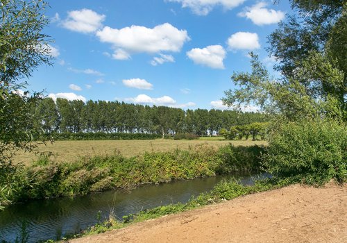
The barrier function of the ViA15 is reduced/minimised and the ViA15 is integrated to a maximum extent. Landscape connections and structural lines (spatial-historical, ecological, recreational, hydrological etc.) are continued to a maximum extent, are respected, reinforced or even repaired: improvement of networks is desirable, in any event there will be no deterioration.

The Bridge: a major task

The point where the A15 motorway and the waterway (Pannerdensch canal) intersect (both of the highest order) requires appropriate spatial development and landscape marking (perspective of the bridge as a major landscape ‘feature’). The bridge marks the end/beginning of the Betuwe landscape and also the transition of the Gelderse Poort nature reserve to the Arnhem urban region, however, without being a glaring icon. The bridge is a discrete engineered structure in the civil engineering tradition of the Directorate General of Public Works and Water Management.
Four sections

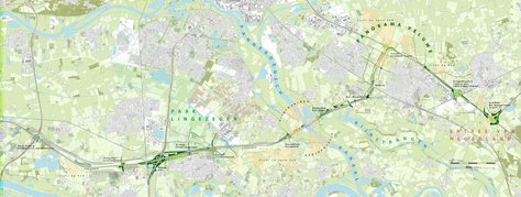
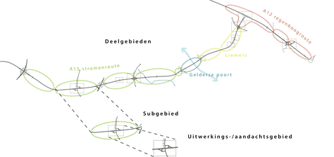
The spatial ambitions which have been formulated, are translated in specific principles per section in a different way. There is not a single generic concept for the ViA15 but custom-made concepts are proposed: the aim is an area-specific and area-wide approach in which the urban and rural context is leading for the main choices. The ViA15 consists of four sections with an individual character and (partly) with different design assumptions and principles.