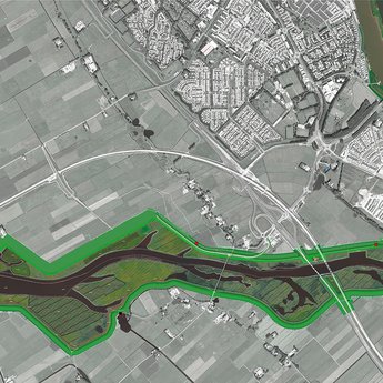
Long term + Safety

Long Term Perspectives for the IJssel-Vecht Delta

In order to guarantee long-term flood protection in the IJssel-Vecht delta, two perspectives have been explored. No choice is made, for both perspectives are promising and will aim to broaden horizons. Ideas will be further developed in follow-up projects.

Motive

The Delta programme outlines the flood risk management task for 2050/2100. A pro-active response is necessary and regional developments and ambitions need to be linked to this. Therefore, two long-term perspectives have been explored to ensure sustainable spatial planning in the IJssel-Vecht delta.

Identifying the main choices for long-term flood protection and the significance on the short term

The bottlenecks in this area result from the interaction between the main water system of the IJssel and the IJsselmeer and the regional water system of the Vecht and the Zwarte Water river. The two long-term perspectives explore the main choices on a system level and their significance on the short-term. Also other linked tasks with respect to water safety and urban developments will be explored.

Approach

Outlining the main choices

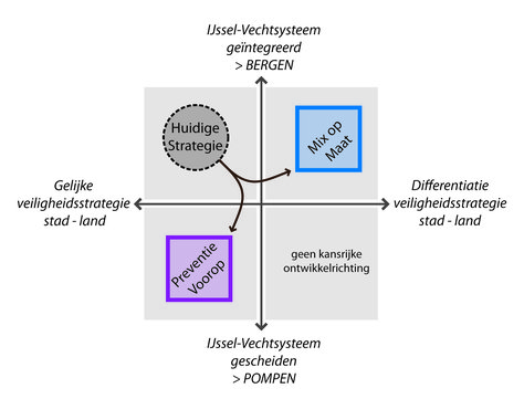
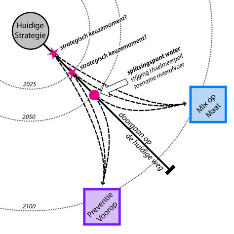
The two perspectives explore the vertices of the playing field and are situated on coordinate axes which are based on two main choices: the way in which is dealt with ‘multi-layer safety’, and consequently, whether a differentiation is made between urban and rural water safety levels and the relationship between main and regional water systems.

Linking tasks

In order to combine tasks between socio-economic developments and flood protection measures, it is important for investment opportunities to coincide. To be able to identify opportunities and bottlenecks, the tasks and ambitions are specified in both axes by mapping and allocating them to a number of date ranges.

Cyclic planning process

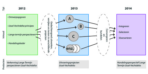
Through this project, a method was developed in which implementation projects are managed, on the basis of long-term perspectives and guiding principles, which may in turn lead to long-term actions. This provides a cyclical planning process in which long-term and short-term tasks can respond to one another and sustainable solutions can be developed.

Prevention first

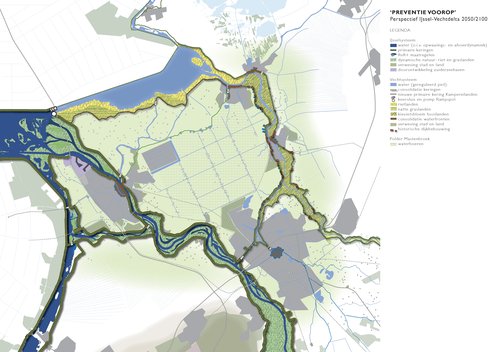
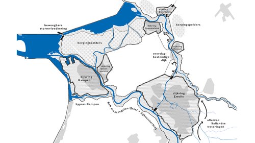
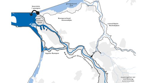
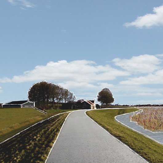
In this perspective, flood prevention is the primary focus (layer 1). Robust dike rings are created and the IJssel and Vecht system are separated by a flood lock and pump. Consequently, the water level in the Zwarte Meer river and the Vecht river will be regulated more, creating new opportunities for nature and recreation. In the IJssel River, there is a focus on natural dynamics. The Kamper islands will be situated within the primary flood defence.

Tailored mix

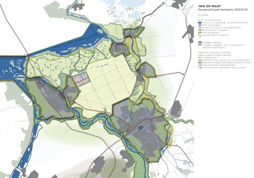
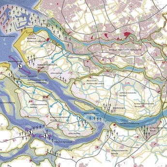
In this perspective, the most favourable balance between the measures in the three layer multi-layer safety model are explored per area. A differentiation is made between urban and rural areas. In this way, urban islands with a greater flood protection level are created in a more dynamic delta. The IJssel and Vecht system remain connected via open links. Extra water storage capacities are created for high water levels in the Vecht.
Strategy map

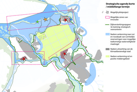
In order to be able to strategically anticipate on the short-term which measures must be taken on the long-term, the crucial areas where spatial interventions occur in relation to the main choices on a system level were identified, including the short-term linked tasks and scope for innovation.

Strategy map

Guiding principles

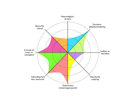
The product of this exploration is not only the final report, but it mainly consists of a joint process that was followed by a large number of stakeholders. Eight guiding principles were drawn up to be able to steer this process. They form a framework of values and standards, concisely summarising what the region considers important.