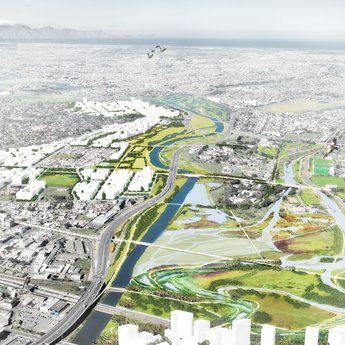
City park + Water machine

Longhu Park Yancheng

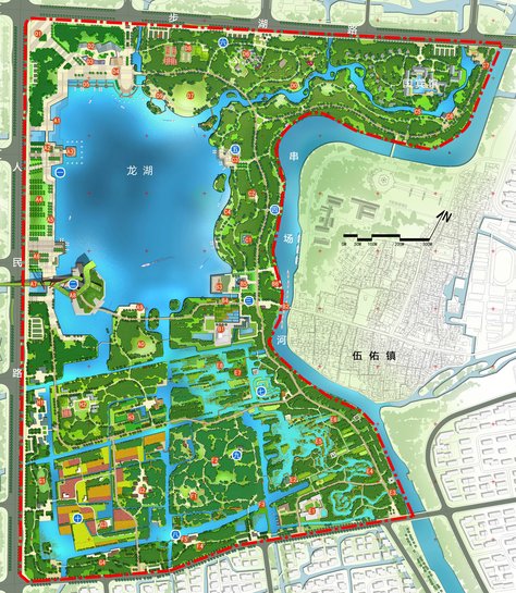
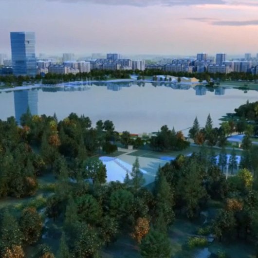
The Chinese coastal city Yancheng is planning to expand in the south of the city. In the new Longhu Park, comprising 200 hectares, there was a wish to integrate a large lake into the park design. This opportunity was used in the design to address serious water issues such as floods, droughts and poor water quality.

Motive

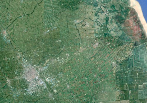
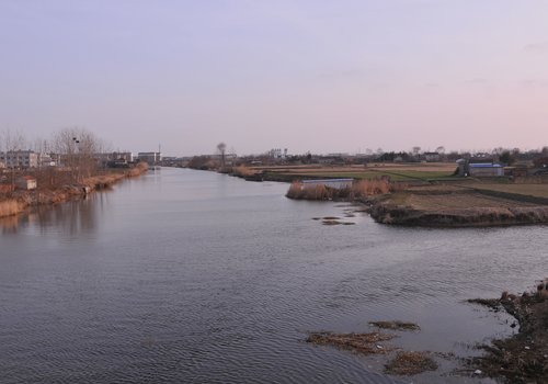
Yancheng is situated in the north of Jiangsu province and is growing rapidly. The city is traditionally known in China as ‘salt city’, which is also the meaning of the name Yan Cheng. Compared to cities in the Netherlands, Yancheng is a coastal town situated on a sand ridge of a former dune. The plan area designated for urban expansion lies at the back of this sand ridge, only a few meters above sealevel, and has many ditches and waterways.

Assignment

The city launched a design competition for the park and the recreational lake to achieve innovative solutions. In the park design that H+N+S developed together with Zhejiang Urban & Rural Planning Design Institute a solution was integrated for the big water issues Yancheng is facing: during summer the area has to cope with floods and during winter with droughts, water shortage and pollution.

We translated the principles of the Dutch approach into the design for the park of the Yancheng new urban area

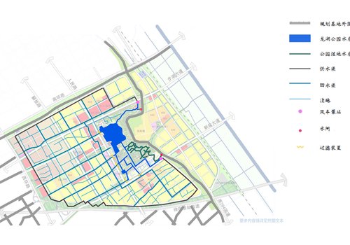
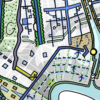
H+N+S designed a self-sustaining water system according to Dutch tradition, separated as much as possible from the surrounding water. The main goal is to retain sufficient rain water during wet seasons to ensure that there is no need to extract water of dubious quality from the surrounding areas during dry seasons. The self circulating and purifying water system enables an optimised water level management and consists of four elements: the central lake, the supply canal and a system of wadis and waterways.

Monthly water balance
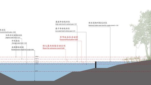
The water levels in the park may fluctuate considerably

Approach

Hydrological analysis

Currently, excessive water in Yancheng is discharged via the Chuanchang channel. During dry seasons the city parks are fed from the same channel. As is the case in many cities in the north of China, the surface water is contaminated (particularly during dry periods!) and there is low rainfall in the dry winter season, whereas there is a risk of flooding during the wet summers. The channel cannot cope with the, sometimes, heavy rainfall and with the current water management, water safety and water quality cannot be guaranteed.

Longhu Park © Zhejiang Institute

Result

Integrated design

The winning design of H+N+S and Zhejiang institute integrates an innovative water system into the park design and urban expansion plan. Within this partnership H+N+S was responsible for the development and design of the water system. Water expert Nanco Dolman advised on the dimensions of the water system. The design is based on the existing water structure in the area and provides an effective but simple solution for the water problems.

Circulation

The key of the new system is the supply channel situated on the edge of the park. This operates as a ‘pump’ and discharges water from the big lake into the canals and waterways of the urban areas. In this way the canal provides for circulation and water exchange and pollution is kept to a minimum.

Water storage

The lake stores rainwater from the new district and serves as a storage basin for water during wet seasons, to be used as a source for blue structures. Wadis collect and temporarily store the rainwater from buildings and roads.

The existing ditches and waterways in the plan area discharge the water into the lake. In order to store sufficient water for dry periods, the water surface covers a major part of the new district: 13% of the new urban areas will be developed as open water areas. The lake in the park will be part of this area. Also in an exceptionally wet year (once every 30 years) the water system will have sufficient capacity to store water!
Purification

In order to achieve the above water storage, it is necessary for the water level to fluctuate strongly: the water level may decrease up tot 60cm between a wet and dry period. The banks and vegetation have been specifically selected for this. The water level in the canals varies only 30cm. All waterways have ecological banks, which purify water in a natural way.